")
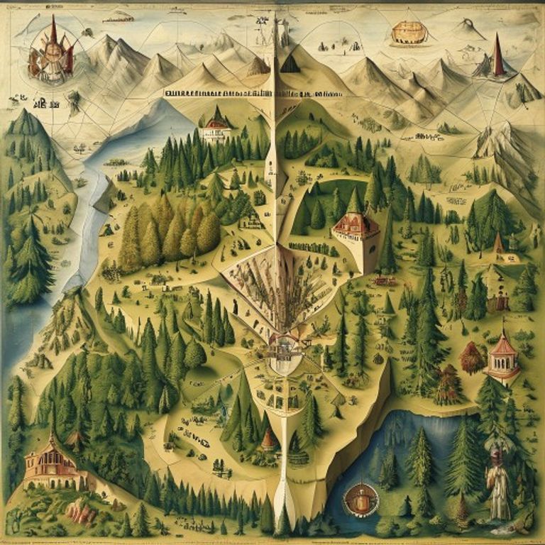
The first cartographic document to use the name America in 1507, which presents details of the continent's west coast before its known official exploration.
⚠️ Research conducted with the aid of Deep Research is subject to referential ambiguity.
🖥️ Clean HTML code using a proprietary tool.
👥 Research by Guilherme Felipe, Curation by Sílvio Lôbo
The Waldseemüller Map: The Unknown Continent and the Shadow of the Unknown
In a world expanding with the audacity of navigators and the ambition of kingdoms, a piece of parchment, created in the small town of Saint-Dié-des-Vosges, in Lorraine, in the year 1507, held a secret that would echo for centuries. The Waldseemüller Map, a cartographic milestone in its own right, not only named a new continent but also gave rise to a mystery that defies rational explanations, involving possible anomalous voyages, inexplicable prior knowledge, and a history of disappearance that borders on the surreal.
1. The Context and the Incident: A Continent Revealed, A Mystery Planted
The 16th century was the golden age of the Great Navigations. The search for routes to the Indies and the discovery of new lands pushed cartography to new heights. In this context, Martin Waldseemüller, a German geographer and humanist, along with Matthias Ringmann, published the monumental "Universalis Cosmographia secundum Ptholomaei traditionem et novas/Ptolemaei traditione et Americi Vespucii aliorumque lustrationes" (Universal Cosmography according to the tradition of Ptolemy and the new explorations of Amerigo Vespucci and others), accompanied by a terrestrial globe in the shape of an "orange" cut in half, the "Globus Mundi".
The most notorious work, however, was a large world map in 12 panels, known today as the Waldseemüller Map. It is here that the name "America" appears for the first time, coined in honor of Amerigo Vespucci, whose letters described a "New World" distinct from Asia. This map, by itself, was already revolutionary. However, it is another element, often overshadowed by cartographic genius, that casts the shadow of mystery: the representation of a large continent in the Southern Hemisphere, well below Asia and separated by a vast ocean, long before any recorded European exploration had reached those latitudes.
The "incident" is not a single event in time, but the very existence of this anomalous representation. Where did Waldseemüller obtain this information? How could he portray with such precision a landmass that, according to the knowledge of the time, should not exist, and whose coasts would only be explored and mapped centuries later? This is the core of the mystery.
2. Timeline of Events: Crucial Points in the Map's History
- Early 16th Century: A period of intense maritime exploration and advancement in cartography. Reports of voyages by Christopher Columbus and Amerigo Vespucci reach Europe.
- 1507: Publication of the "Universalis Cosmographia" and the Waldseemüller Map in Saint-Dié-des-Vosges. The name "America" is used for the first time for a continent. The representation of a large landmass in the Southern Hemisphere is included.
- 1513: Waldseemüller publishes the updated "Ptolemaeus," where he removed the name "America" from his map, replacing it with "Terra Incognita" in some areas, which adds a layer of enigma to his original position.
- Subsequent Centuries: Various European explorers, such as Ferdinand Magellan (starting in 1519) and others, begin to map the coasts of South America, gradually confirming the existence of an extensive continent in the south.
- 20th Century: The rediscovery and analysis of the Waldseemüller Map by modern historians and geographers intensify the debate over the origin of the Southern Hemisphere representation.
- 2001: The United States Library of Congress acquires a copy of the Waldseemüller Map for a record price, highlighting its historical importance.
3. The Main Theories: Unraveling the Southern Puzzle
The explanations for Waldseemüller's intriguing representation range from measured academic hypotheses to bolder speculations. Journalistic rigor requires that we present each one with the appropriate analysis:
3.1. Scientific and Academic Hypotheses (The Most Likely, Based on Evidence)
- The Knowledge of Amerigo Vespucci and Other Explorers: This is the prevailing theory. The idea is that Vespucci, in his letters, may have suggested the existence of a continental mass in the south, based on his own reports or information gathered from other navigators who might have already sighted land or perceived the extent of the Atlantic Ocean. Waldseemüller would have extrapolated this information, projecting a speculative continent to close the globe, a common practice in the cartography of the time, where one sought to complete the known world. The lack of precise data on the southern coast of South America led to such conjectures.
- Ptolemy's Projection and the "Terra Australis Incognita" Theory: The Ptolemaic tradition, which served as the basis for Waldseemüller, already postulated the existence of a large continent in the southern hemisphere ("Terra Australis") to balance the northern landmass. Waldseemüller may have interpreted Vespucci's reports as a partial confirmation of this ancient theory, and the representation of the south would be an attempt to integrate this new information with classical knowledge.
- Information from Portuguese Navigators: There is speculation that Portuguese navigators, with their daring expeditions to Africa and beyond, could have obtained information about the extent of South America through contacts with native peoples or even through sightings in secret expeditions that were not properly documented or officially disclosed.
3.2. Alternative and Speculative Theories (With Less Supporting Evidence)
- Lost or Unknown Ancient Maps: A hypothesis suggests that Waldseemüller may have had access to even older maps, of unknown origin or lost to history, that contained precise information about South America. These maps could have been produced by ancient civilizations with advanced nautical knowledge, or by explorers of other cultures who preceded the Europeans.
- The Secret Cartography of Elias de Rèmont (Conspiracy Theory): A less conventional theory, and without concrete evidence, points to a supposed cartographer named Elias de Rèmont, who would have served as a secret source of knowledge for Waldseemüller. According to this line of thought, Rèmont possessed privileged information about the western continents and had transmitted it to Waldseemüller, who incorporated it into his map. The existence of Rèmont and his connection to Waldseemüller lack robust historical proof.
3.3. Paranormal or Atlantean Theories (High-Degree Speculation)
- Atlantean or Pre-Diluvian Knowledge: Some theories, often associated with authors who explore the theme of Atlantis, suggest that Waldseemüller's representation would be evidence of geographical knowledge remaining from advanced ancient civilizations, such as Atlantis, which would have mapped the world with precision before their disappearance. This view lacks any scientific or archaeological support.
4. Controversies and Blind Spots: The Flaws in the Official Narrative
The main blind spot in the case of the Waldseemüller Map lies in the difficulty in tracing the exact source of the information that led to the representation of the southern continent. Waldseemüller, despite his erudition, did not leave a detailed "dossier" on the origin of each line and name on his map. The inconsistencies and blind spots include:
- Waldseemüller's Silence: Despite his revolutionary publication, Waldseemüller did not exhaustively detail the specific methods and sources that led him to draw the southern continent with the precision he demonstrates.
- Waldseemüller's Reversal: Waldseemüller's decision in 1513 to remove the name "America" from some of his later maps, and the inclusion of "Terra Incognita," raises questions about his original confidence in the information or about external pressures he may have faced. If he believed in his representation in 1507, why did he modify it so quickly?
- The Lack of Concrete Evidence of Other Maps: Although there is speculation about older maps, no physical and indisputable evidence of a map prior to 1507 that portrays the southern coast of America with similar precision has been discovered to date.
- Indirect Testimonies: Information about the extent of new lands was often transmitted orally, through sailors, merchants, and diplomats. The difficulty in cross-referencing and verifying these reports makes the exact reconstruction of the facts a Herculean task.
5. Curiosities and Legacy: A Continent That Persists in History
The legacy of the Waldseemüller Map is immense and multifaceted. It not only gave a name to the "New World" but also planted the seeds of one of the greatest geographical enigmas in history.
- Cultural Impact: The map is a treasure of world cartography, considered one of the most important documents in the history of exploration and geography. Its influence on the representation of the Western world has been lasting.
- The Persistent Mystery: The enigma of the map's southern representation has never been completely solved. It continues to fascinate historians, geographers, and mystery enthusiasts.
- Current Status: The case of the Waldseemüller Map has not been "reopened" in the sense of a criminal investigation, as there is no crime to be solved. However, academic research on the map and its origins is ongoing. The existing copies of the map are invaluable collector's items and objects of intense study. The map rests in archives and libraries around the world, each line an invitation to reflect on what we knew, what we imagined, and what, perhaps, we never fully understood about the borders of our planet and human knowledge.
The Waldseemüller Map remains a vivid reminder that, even in a world we believe we know, there are still dark corners, unanswered questions, and the persistent whisper of the unknown on the margins of the map.